Advanced Specialty Inspections

Discover highly technical aerial mapping and specialized thermal analysis designed to deliver critical data and precise visual tracking for complex infrastructure.

We provide innovative, out-of-the-box drone solutions tailored to your unique needs. Our team helps uncover new applications that maximize the value of drone technology.

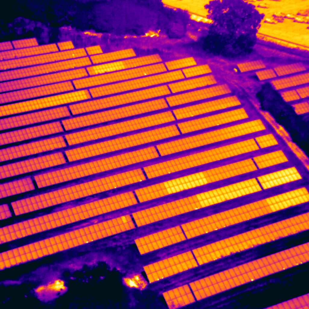
Thermal image of solar panel field

Specialized Aerial Inspections & Infrastructure Mapping

We deliver precision data and advanced thermal analysis tailored to high-stakes commercial infrastructure and project management.
  • Solar Panel Analysis: Thermal scans to detect defects and optimize cell efficiency.
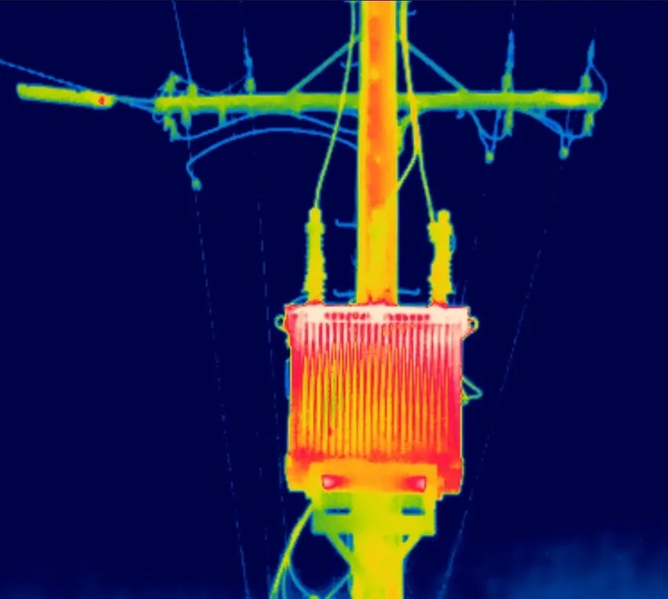
  • Electrical Transformers: Infrared imaging to catch overheating components early.
  • Power Line Inspections: High-res aerial tracking to identify structural vulnerabilities.
  • Railroad Track Mapping: Rapid, safe monitoring of track integrity and right-of-ways.
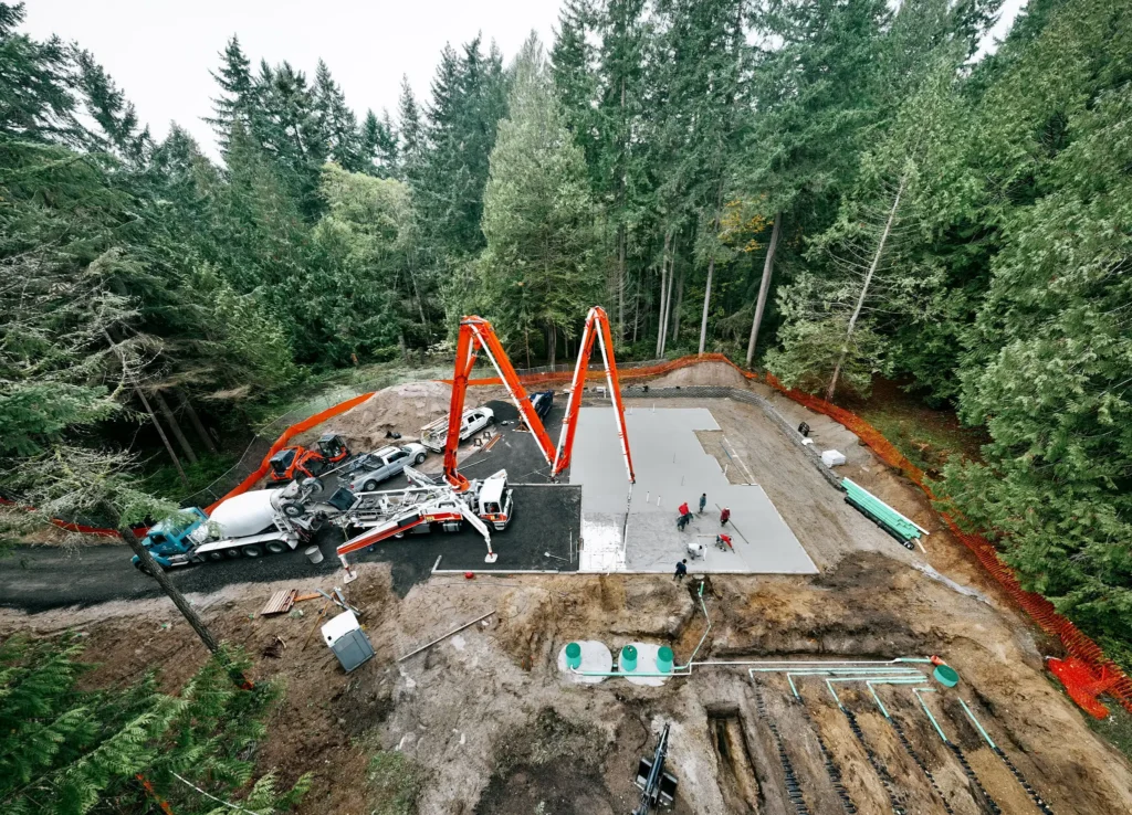
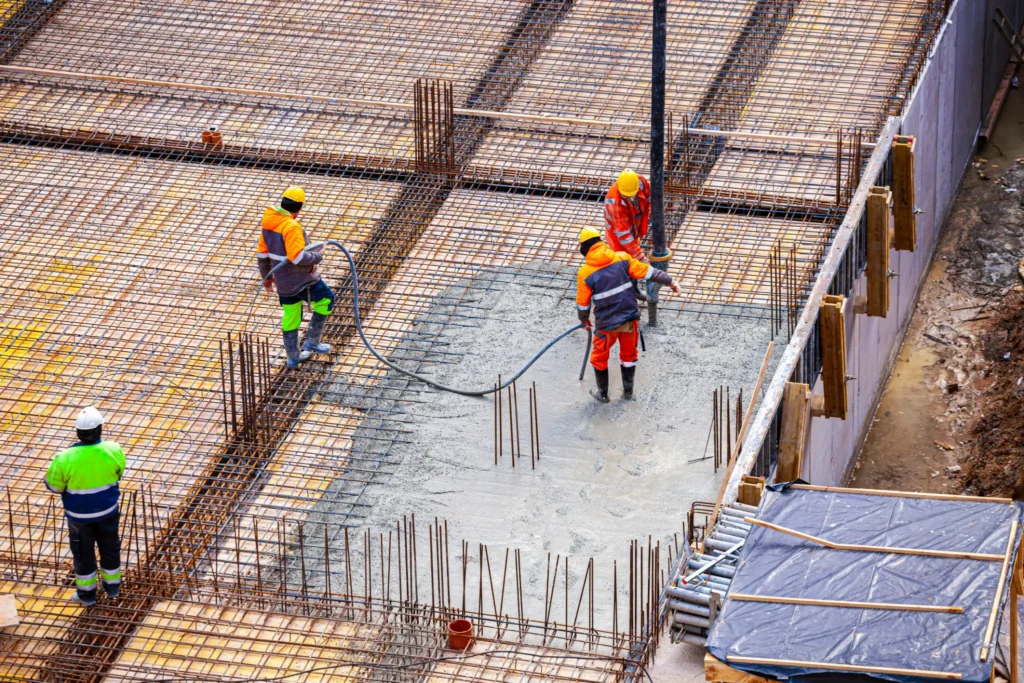
  • Construction Project Progression: Scheduled mapping to track build timelines and verify accuracy.
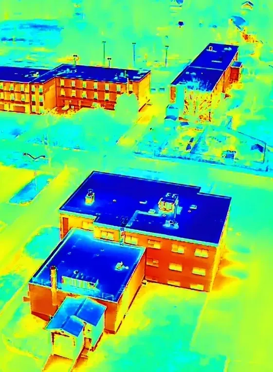
  • Industrial Building Inspections: Detect structural deficiencies, potential water intrusion, heat loss, and other hidden issues in elevated or hard-to-reach areas using thermal-capable drone technology.
  • Thermal Imaging Analysis: Utilize thermal-capable drones to identify heat signatures for inspections, search operations, and issues that are not visible to the naked eye.